The use of handheld laser rangefinders in archaeological research
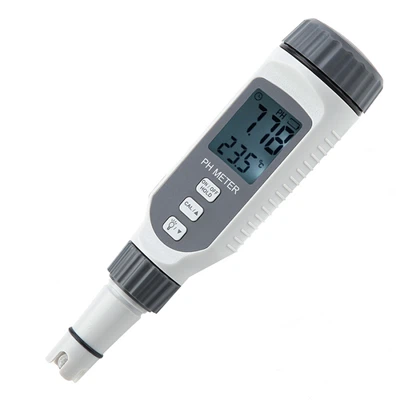
At present, field archaeology in the extensive use of tape measure, steel tape measure, GPS, total station and other instruments for the length, area, volume and other measurements, the use of total station, GPS-RTK, etc. for terrain mapping, exploratory laying, engineering sampling. So, what can a handheld laser rangefinder do? Handheld laser rangefinder can also realize the measurement of distance, area, volume and with the latitude and longitude instrument for sampling and other functions.
Distance measurement, the most used function in archaeology. Here are two examples to illustrate: 1. In the process of drawing the flat and sectional plan of a tomb to measure and register the length, width and height of the tomb, and then draw it according to the scale. Assuming that the tomb is a vertical pit mound tomb with the same large mouth and bottom. If you want to measure the measured width of the burial chamber, set the hand-held laser rangefinder (Hilti PD42) to start counting from the bottom of the instrument, and then put the bottom of the hand-held laser rangefinder against the wall of the tomb, keep the horizontal button, and then the data of the width of the burial will be displayed on the screen. Length measurement is similar to width, depth measurement can be measured directly from the mouth of the tomb downward, also place the target plate at the mouth of the tomb, and then let it be measured upward from the bottom of the tomb, which has the same effect. If the bottom of the tomb mouth is different when large, in order to prevent the impact of tilting the tomb wall, can be the use of extension rods, delayed measurement. 2. sealing mound measurement. Set the handheld laser rangefinder to triangulation mode, then take the handheld laser rangefinder as the apex (level with the bottom of the mound), and measure the distance to the bottom and top of the mound respectively, then the height of the mound will be automatically solved and displayed in the instrument. This function is especially practical in the field, in the Great Wall resource survey some beacon platforms can not climb or it is difficult to approach, you can use this function to measure the height of the beacon platform; in the third national cultural relics census, some of the ancient buildings, stone carvings and so on are also difficult to approach, you can also use this function to measure.
Area and volume measurement is also widely used in archaeology. For example, the area of the probe, the area of the tomb opening, the area of the city site, the earth of the probe, the earth of the tomb and so on. To realize these functions just need to switch the function option of the handheld laser rangefinder to the corresponding option, and then measure two to three data of the entity to get the area and volume data. As for the handheld laser rangefinder sampling function, here will not do a detailed description, because the total station and GPS-RTK sampling function is much more powerful than it.