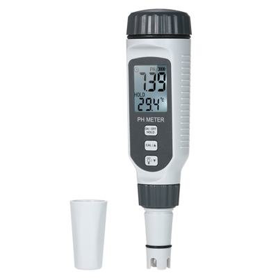
Introduction to the application of laser rangefinder in forestry
Data collection is used for forest resource inventory, including tree height, height of commercial materials, vegetation mapping, positioning of wild special and excellent tree species, determining the level and economic value of trees in the area, or in conducting cultivation and management research such as pruning, determining the location of trees at specific heights, drawing logging volume profiles, and determining resource boundaries; When considering the method of bundling and stacking timber for harvesting timber, it is very important to measure and map the terrain of the bundling and stacking timber channel, as well as conduct pre construction survey of roads and rugged paths for general purposes. Various issues (such as cost, accuracy, obstacles, etc.) may be encountered when using conventional surveys, aerial photography, and GPS positioning that were previously available.
Field data collection is a long-standing problem that has plagued surveyors, cartographers, GIS database managers, engineers, and researchers. The problem is simple: how to efficiently and accurately collect location and physical feature data for mapping, cataloging, resource inventory, and storage in a database.
Finding the result of this problem in a given situation can be frustrating. Because:
(1) There may be many methods and techniques that can be used;
(2) In the vast majority of cases, there is no single method that can provide complete and satisfactory results.
Discussion on the Application of Multifunctional Laser Measurement System in Forestry
(1) Forest land measurement
Due to the combination of multifunctional laser measurement system and electromagnetic digital compass, its ranging and angle measurement accuracy is much higher than that of compass and measuring rope, making it the best new instrument for forest land measurement.
According to the test, the advantages of applying a multifunctional laser measuring instrument to forest land measurement are:
1) Easy to operate, fast measurement locking, and high accuracy. The instrument can automatically record data, transmit it through a computer, and there is no human error.
2) The digital dashboard automatically displays without human visual interpretation errors.
3) Save manpower and time.
4) Equipped with processing software, it can handle points, lines, and wires, calculate closure errors, areas, etc., and can be connected to a printer or plotter to directly draw measurement graphics.
(2) Combination of multifunctional laser measuring instrument and GPS
The introduction of multifunctional laser measuring instruments was initially mainly combined with GPS, that is, GPS cooperated with multifunctional laser measuring instruments for measurement in terrain restricted areas.
Specific applications:
1) Abolition and investigation of indiscriminate cultivated land
The combination of laser measuring instruments with GPS, GIS and their software, combined with portable computers, for environmental monitoring is currently the most popular research project in various academic institutions. In forestry, it is used for the prohibition and inventory of abandoned land, but due to terrain limitations during GPS use, further research and testing are needed. In addition, digital cameras can also be combined to capture and archive violations for evidence of crackdown.
2) Land rental inventory
The combination of a multifunctional laser measuring instrument and GPS for land rental inventory work not only has fast speed but also high accuracy. In addition, digital image files can also be pre input into a portable computer and brought to the site for inspection and comparison work.
3) External security forest inventory
At present, the security forest inventory outside the area of our bureau is carried out using electronic tablets for inventory and pile placement work. However, due to insufficient triangulation points, the inventory work is often slow. If centimeter level GPS can be used for point placement, then laser measuring instruments can be used for measurement, and the target coordinate program function can be used for pile placement, it should accelerate the inventory work and reduce the post digitization work of the map.