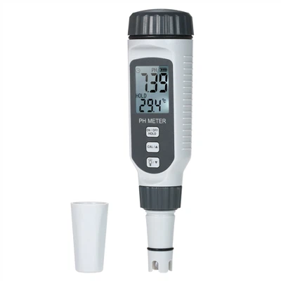
Solutions to common problems of laser rangefinders
Laser range finders generally use two methods to measure distance: pulse method and phase method.
Pulse distance measurement: The laser emitted by the range finder is reflected by the measured object and then received by the range finder, and the range finder records the time of the laser back and forth at the same time. Half of the product of the speed of light and the round-trip time is the distance between the rangefinder and the measured object. The accuracy of distance measurement by pulse method is generally around +/- 1 meter. The measurement blind zone of this type of rangefinder is generally about 15 meters.
Application fields of laser range finder: Laser range finder is widely used in the following fields: electric power, water conservancy, communication, environment, construction, geology, police, fire protection, blasting, navigation, railway, anti-terrorism/military, agriculture, forestry, Real estate, leisure/outdoor sports, etc.
Why is there a difference between the so-called "*" and "not*" in the laser rangefinder? the
The laser range finder uses laser as the main working substance to work. At present, the working substances of the handheld laser rangefinder on the market mainly include the following types: semiconductor lasers with a working wavelength of 905 nm and 1540 nm, and YAG lasers with a working wavelength of 1064 nm. The wavelength of 1064 nanometers is harmful to human skin and eyes, especially if the eyes are accidentally exposed to the laser with a wavelength of 1064 nanometers, the damage to the eyes may be fatal. Therefore, in foreign countries, the 1064 nanometer laser is completely banned in the handheld laser rangefinder. In China, some manufacturers also produce 1064nm laser rangefinders. the
For 905nm and 1540nm laser range finders, we call them "*". For the 1064nm laser rangefinder, we call it "unsafe" because it is potentially harmful to the human body.
Data collection is used for forestry resources inventory, that is, tree height, height that can be used as commercial timber, vegetation mapping, wild special tree species, excellent tree species location, determination of tree grade and economic value in the area, or in cultivation management research. branches, determining tree locations where specific heights are produced, profiling felled volumes, and determining resource boundaries; used for topography, mapping, and for general purposes of baling lumber pathways when harvesting lumber considering baling lumber methods Pre-construction surveys of roads and rough trails are important. Various problems (eg, cost, accuracy, obstructions, etc.) may be encountered using conventional surveys, aerial photography, and GPS positioning that have been available in the past.